




First, follow the signs across the Acconia Plain, amidst the remains of the ancient Neolithic settlement and the structures of the Roman Baths; then, look for them in the historic center—among the churches, alleys, and homes of the families who shaped the life of the community; and finally, climb up towards the mountains to the monastery of Sant’Elia Vecchio, where the area’s religious history is revealed through one of its most fascinating landmarks. 18. The landscape
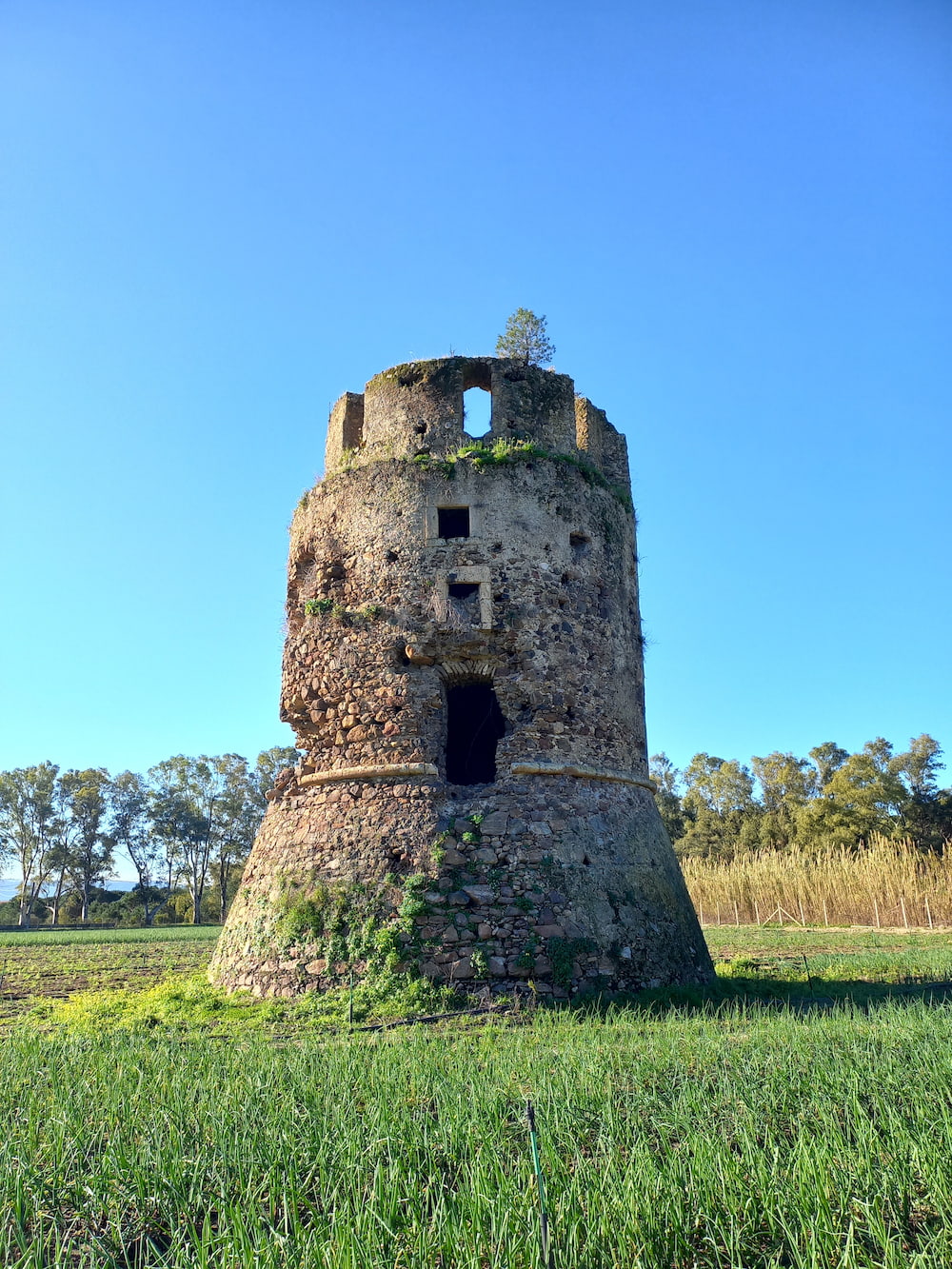
All this evokes the image of Curinga’s hillside setting—close to the Preserre Vibonesi mountains, dominated by Mount Contessa—and its magnificent view over the Lamezia Plain and the entire arc of the Gulf of Sant’Eufemia. This area is ideally framed by the mouths of three rivers: the Savuto to the north, the Amato in the center, and the Angitola to the south. It features a lush coastline with a dense pine forest stretching as far as the Torre di Mezzapraia (in the Torrevecchia locality), where it gives way to a eucalyptus grove and the Rollo wetlands—an area recognized for its naturalistic value.
It is a landscape shaped by nature, time, and humanity—traces of which remain clearly visible.
The plain
The plain preserves the memory of the ancient world.
The town
The town tells the story of the modern community’s formation through its civic and religious architecture.
The mountain
The mountain, meanwhile, preserves evidence of Italo-Greek and Carmelite monastic presence.
Research by archaeologist Francesco Cuteri plays a key role in interpreting this territory; he has studied various aspects of the area’s archaeological and architectural history, focusing particularly on the hermitage of Sant’Elia Vecchio. Excavations conducted in the 1990s revealed the complex’s layout and allowed for the reconstruction of its various phases, providing new insights into the history of the monastery and the Carmelite presence in Curinga. 36. The Cult of Elijah
Saint Elijah in a Broader Historical Context
Saint Elijah, however, is not an isolated episode. His story gains significance when placed within the broader history of the area. The chapel dedicated to the prophet, the water source, the monastery’s structure, and the relationship with the mountain landscape all point to a religious tradition in which the cult of Elijah holds a special place.
- The chapel dedicated to the prophet
- The water source
- The monastery structure
- The relationship with the mountain landscape
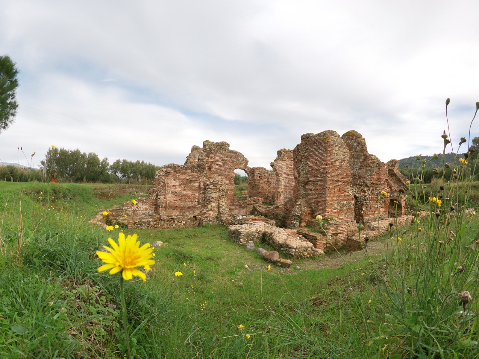
This same perspective allows us to look at Acconia—first at the Neolithic village discovered on the Acquania Dunes, and then, above all, at the Roman Baths. These baths are not merely a monumental landmark; they document the presence of a settlement integrated into the economic and territorial system of ancient Calabria. Thus, the history of Curinga predates the formation of the current town by many centuries.
- Neolithic village · Acquania Dunes
- Roman Baths · 1st–2nd century AD
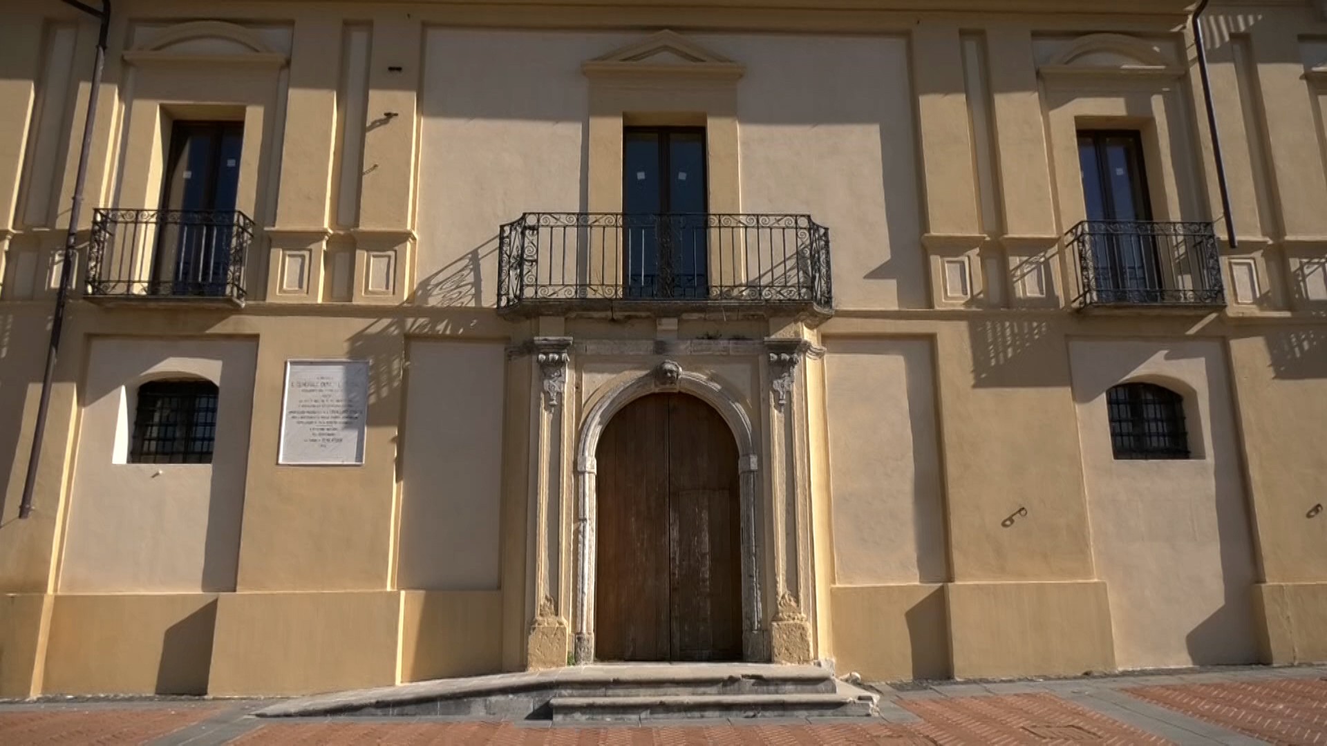

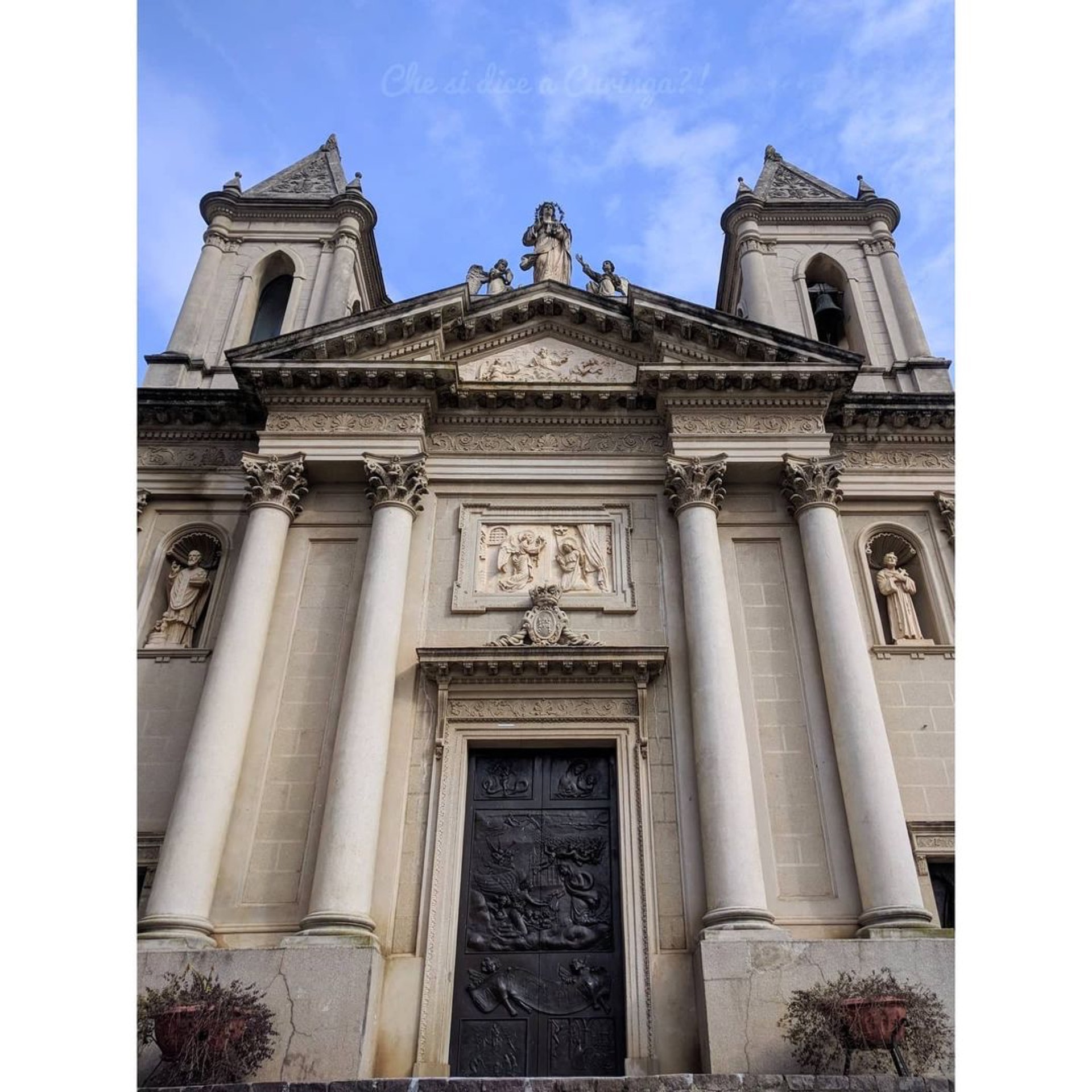
In the historic center, the story is told through its palazzi, churches, portals, and coats of arms, as well as the network of alleyways where the community has put down roots. The residences of the most prominent families reflect not only the tastes and architectural styles of different eras but also the social and economic standing of their owners.
The churches, in turn, offer insight into the community’s religious spirit and, naturally, the transformations the town has undergone.
Curinga is a place defined by a collection of symbols, one of which is the natural wonder of the great plane tree. Its presence belongs to a realm distinct from that of the architecture, yet it helps define the territory itself and offers a unique sense of time: alongside the stone structures built and altered by human hands, a living organism continues to grow, remaining an integral part of the place's memory.
From the sea to the mountains
That is why, to discover and tell the story of Curinga, one must follow its geography: from the sea to the Acconia plain, up to the historic center, and higher still to the Sant’Elia mountain. It is an unusual—and in some ways novel—map that reveals a piece of the mosaic of Calabria’s rich and ancient history. 15. Sea